AI MSS provides advanced GIS solutions that support all phases of offshore development, from initial design through to full project lifecycle management
GIS is central to how we help clients make informed, data-backed decisions. From spatial planning to environmental compliance and stakeholder communication, we provide precise geospatial intelligence through intuitive platforms and expertly designed reporting outputs.
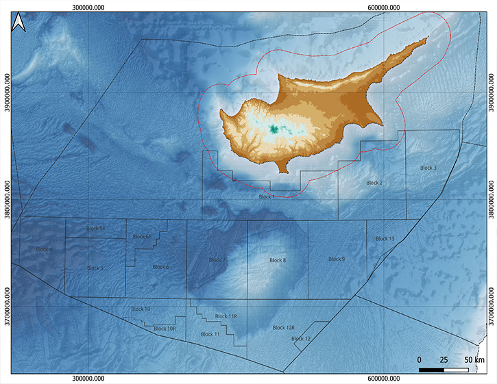
Our GIS services simplify complexity, support compliance, and deliver clarity through managing big geodata relevant both to the marine and offshore environments.
AI MSS delivers user-friendly, cutting-edge GIS interfaces that seamlessly integrate geophysical and geospatial datasets, infrastructure data, metocean information, AIS records, and a range of open-access and confidential legacy sources into a unified analytical framework. This powerful integration enables advanced spatial analysis, supporting precise site selection, efficient project planning, and enhanced confidence in data-driven decision-making
Custom, regulation-ready maps designed to support environmental compliance, geophysical analysis, risk assessment, and progress reporting. Output maps are produced in relatively real-time using QGIS, ensuring accuracy, clarity, and alignment with stakeholder and regulatory requirements and expectations.
We maintain structured, centralised GIS databases to support long-term accessibility, traceability, and transparency across the full project lifecycle.
Deep cross-disciplinary in-house expertise in open access GIS platforms, AI MSS develops an organised and user-friendly interface which allows clients to make confident, compliant decisions which ensure transparency, traceability and strategic control across the project lifecycle, from concept to completion.